P—01
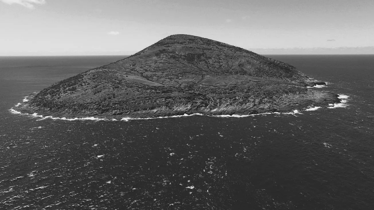
Every kilogram of carbon across a 3000 Ha territory, quantified
#CarbonCycles · #MRV · #TerritorialModelling · #LandSystems
→
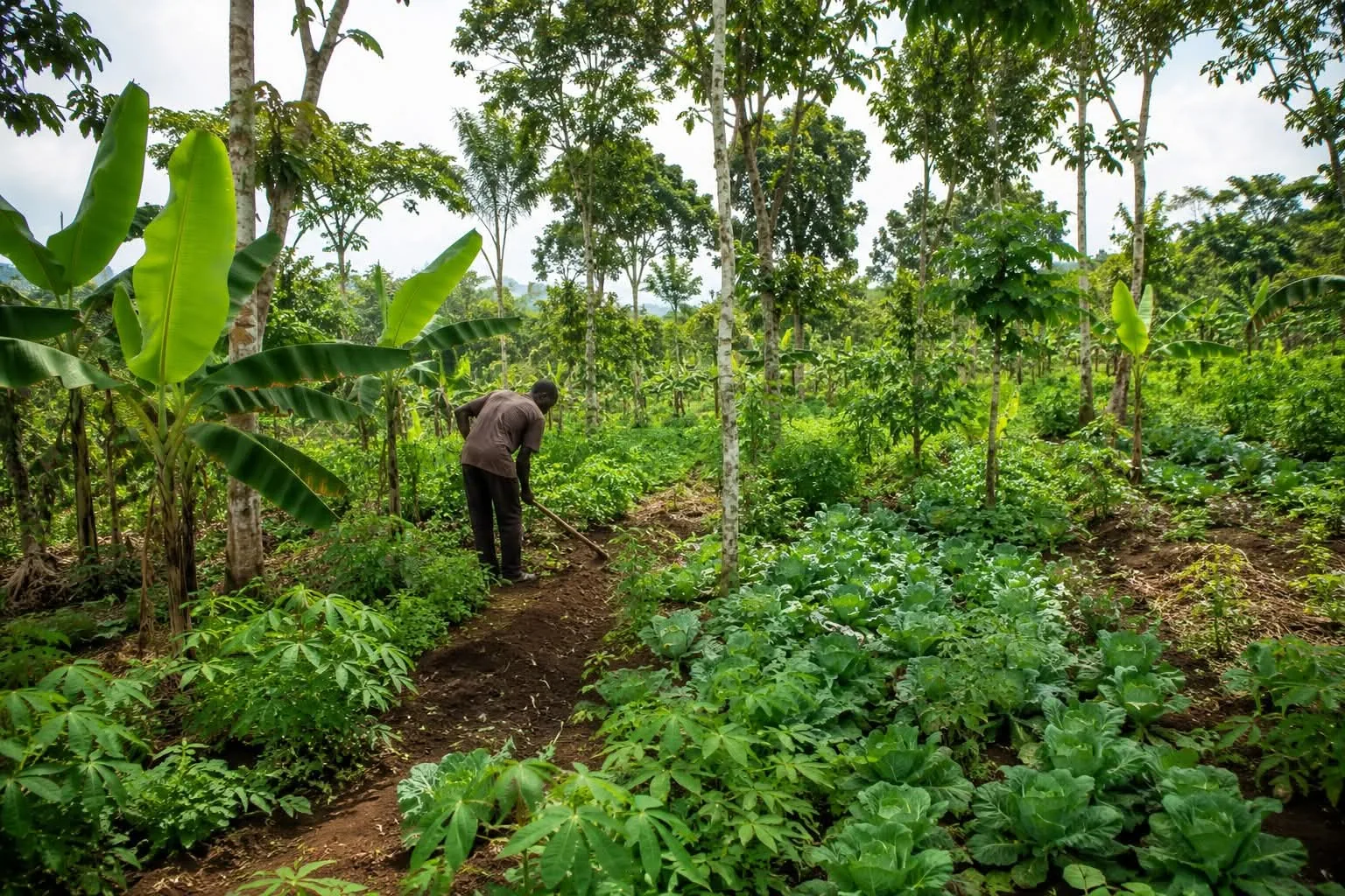
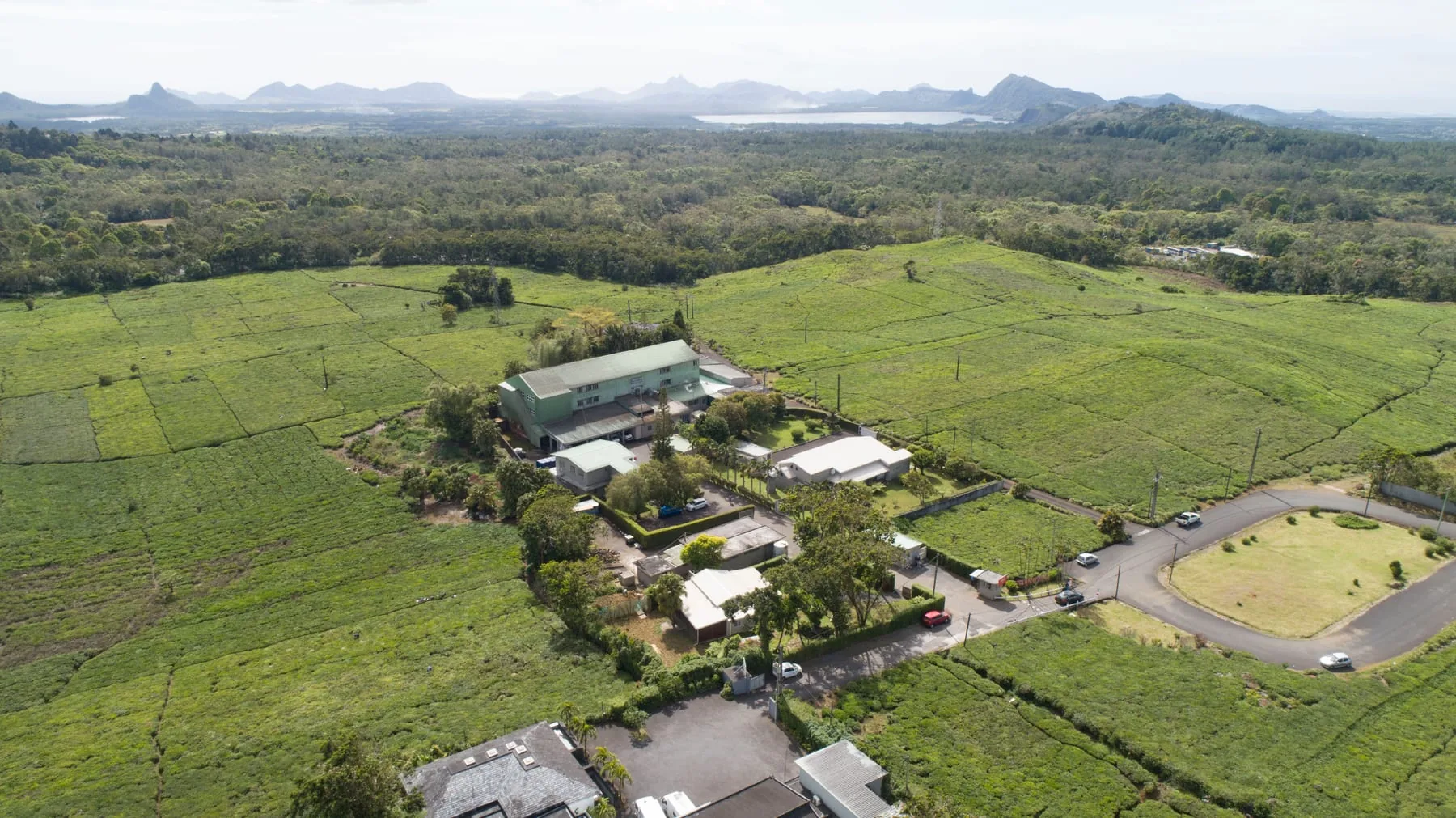
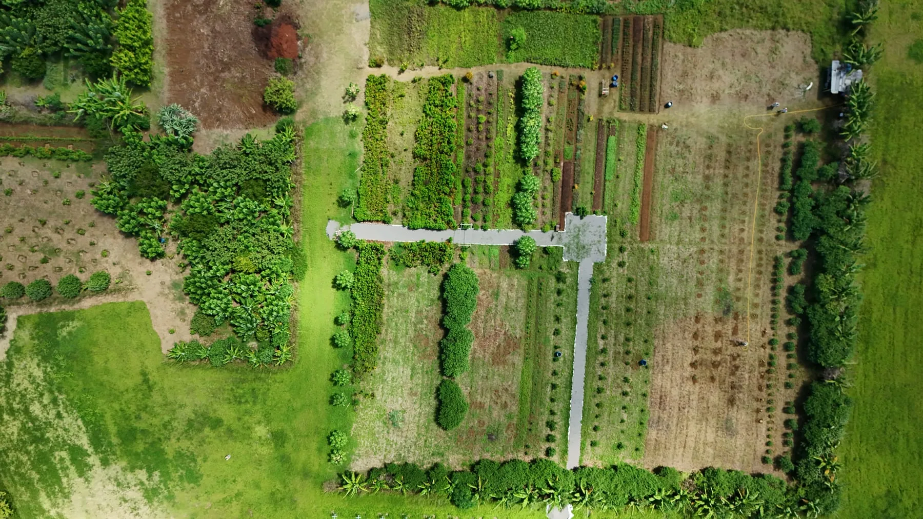
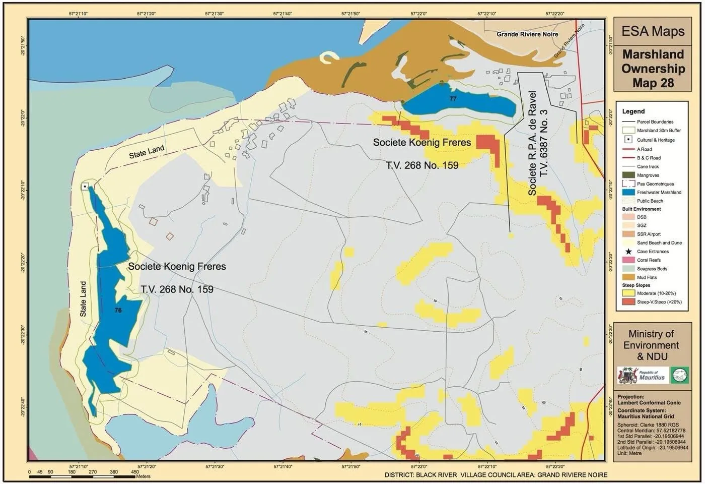
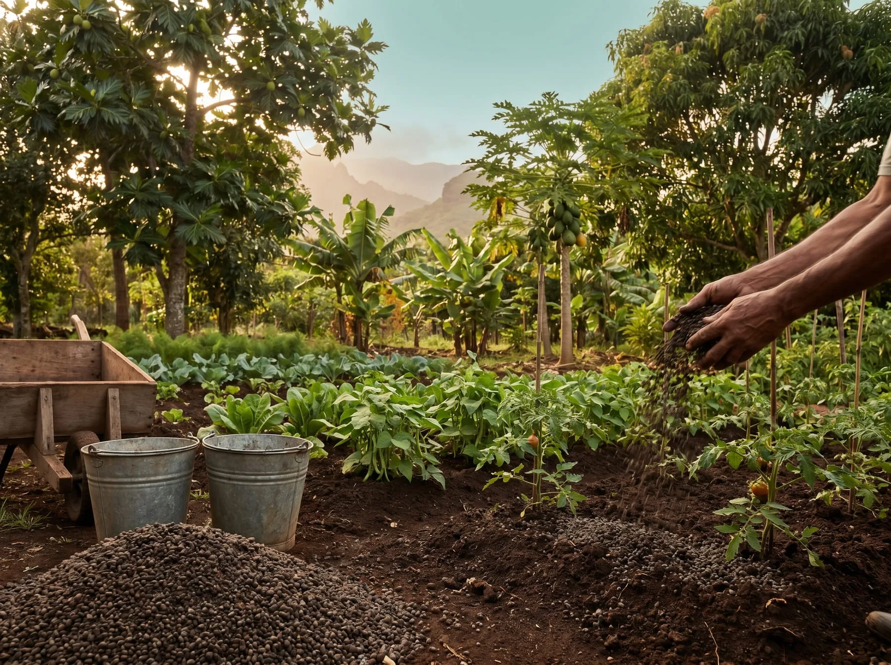
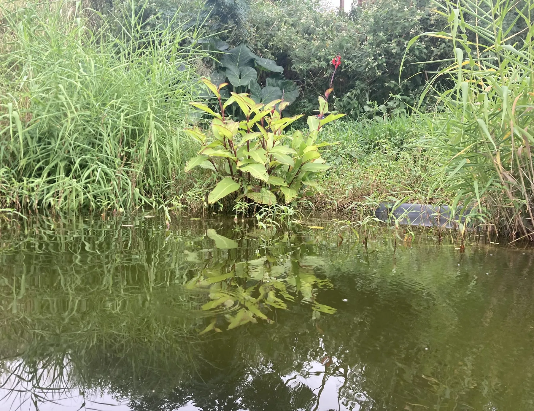
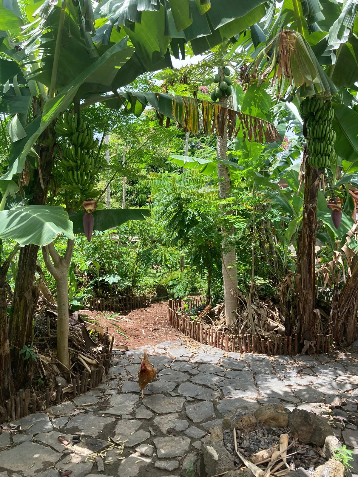
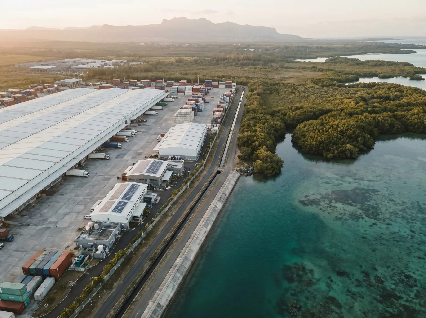
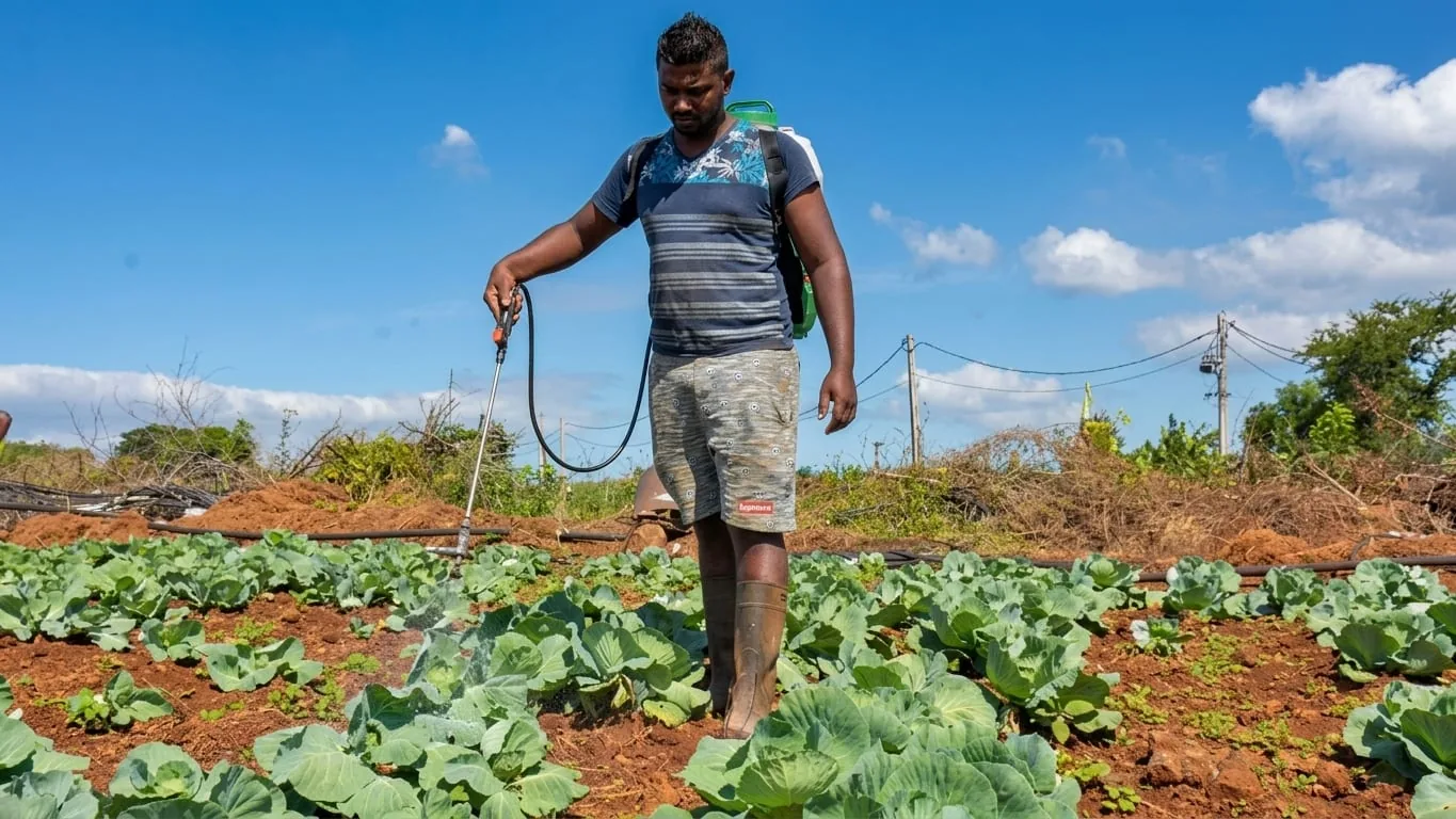
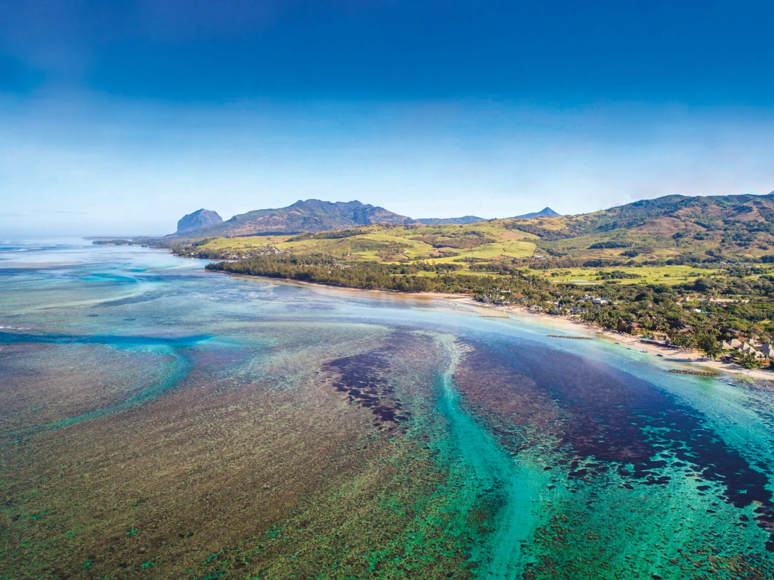
Land holds carbon in its soil, its biomass, its litter, its roots. Without measurement, it stays invisible. We quantified the carbon across a 3,000-hectare territory at 30×30m resolution: tracking four pools across every land use type and seasonal variation. Coupled with scenario modelling under the estate's specific conditions, the map becomes a decision tool, revealing where carbon accumulates, where it is lost, and how management interventions shift the balance.